-
-
-
No.10 Schweitzer Street, Whk West
Services
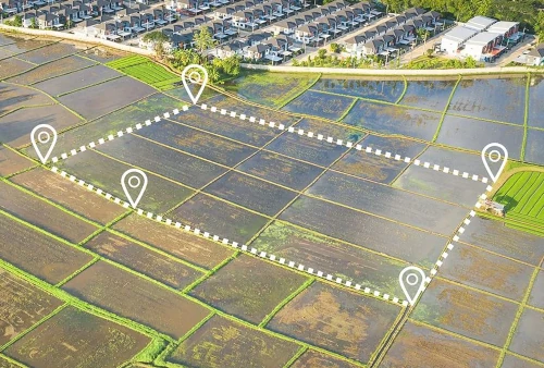
Cadastral Surveys
Defines land ownership boundaries for registration, mapping, and legal purposes with high precision.
Sectional Title Surveys
Subdivides buildings into units for individual ownership and shared property rights documentation.
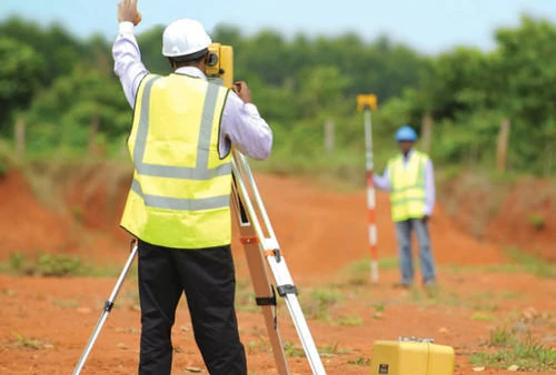
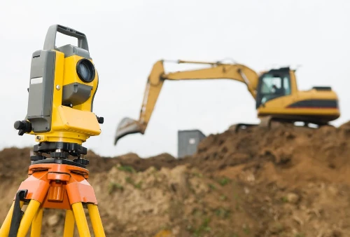
Engineering Surveys
Supports construction projects by measuring and mapping terrain, structures, and infrastructure with technical accuracy.
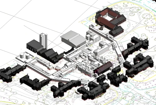
Topographical Surveys
Maps natural and man-made land features, showing elevation, contours, and terrain details.
Aerial Surveys & Mine Surveys
Uses drones or aircraft for mapping large areas or mining sites with detailed geospatial data.

Consulting & Advisory Services
Expert guidance on land development, planning, compliance, and geospatial data interpretation.